

Artistic plat maps, Minnesota
A plat map a buyer can actually read
A surveyor's plat tells a surveyor everything. It tells a buyer nothing they care about. I redraw the same data as a clean, colorful, labeled map that shows lot layout, size, and what's nearby at a glance, the kind of map people want to look at.
- $275
- Flat, per map
- 2 to 3 days
- Business days
- Any plat
- PDF, scan, or GIS export
The work
Plat maps for Minnesota builders, developers, and realtors
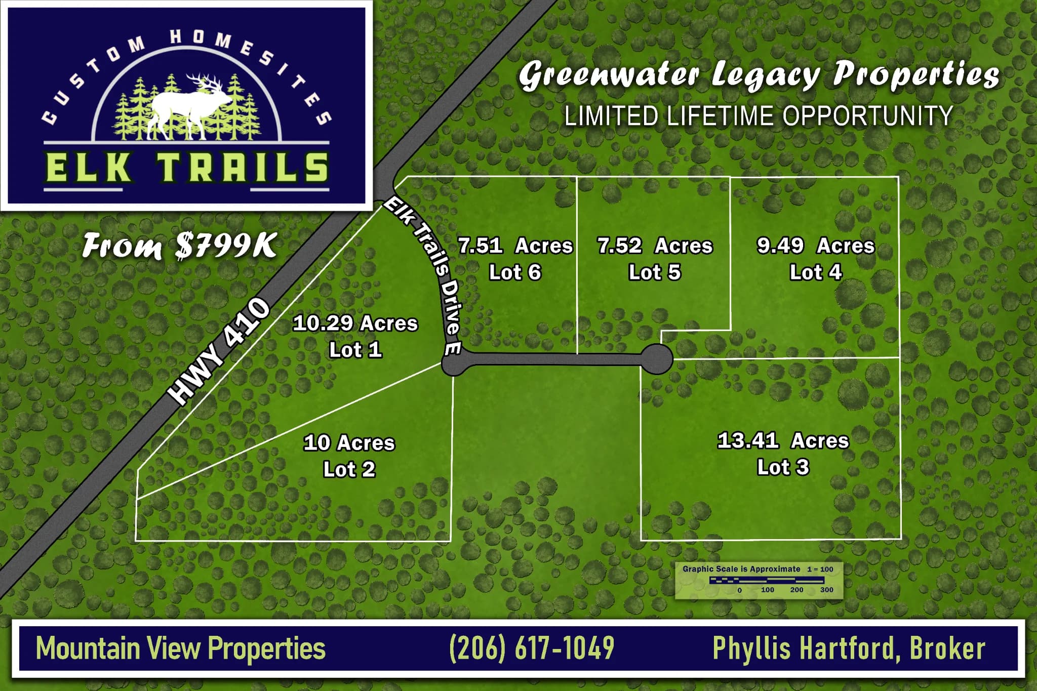
Elk TrailsAn artistic plat map for a Washington State subdivision, with every lot hand-labeled and redrawn as a clean reference buyers can read at a glance. 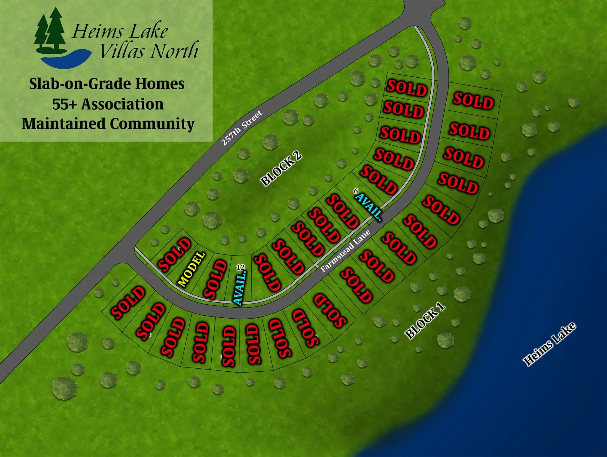
Heims Lake VillasAn artistic plat map for a 55 plus community in Wyoming, MN, laying out villa lots and lake access in a clean, buyer-friendly visual. 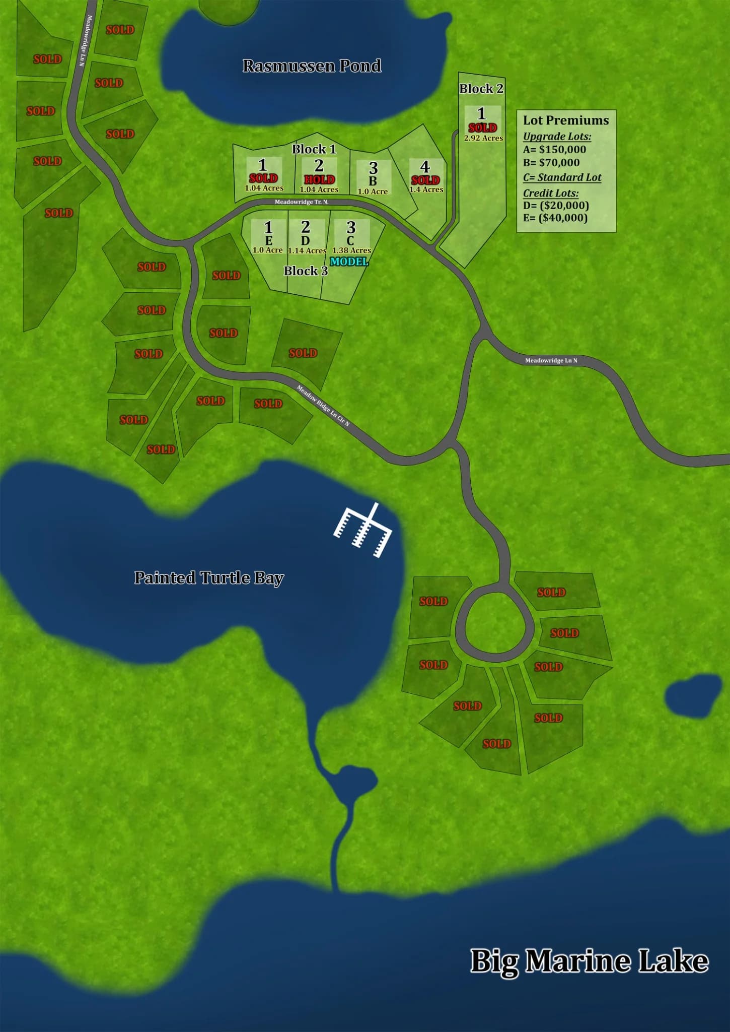
Tii GavoA neighborhood plat map for the Tii Gavo development in Scandia, MN, redrawn as a colorful, clearly labeled visual for buyers. 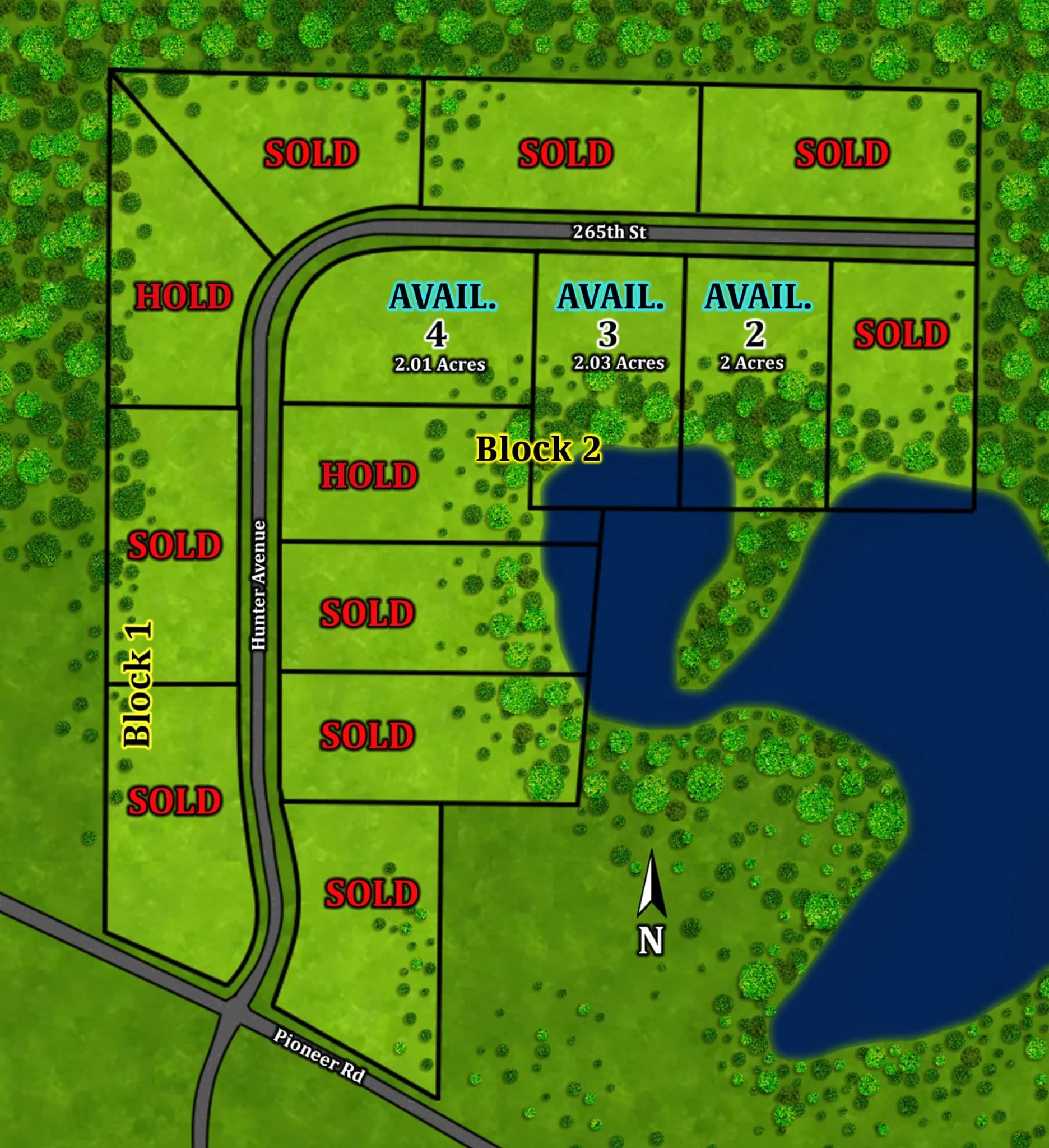
Hunter HillAn acreage development plat map in Wyoming, MN, mapping large wooded lots and access roads for pre-construction marketing.
What it does for a listing
Buyers understand the lot
Size, shape, and where it sits relative to the road, the water, and the neighbors, without a surveyor to translate.
The development looks cared for
A clean, labeled map says somebody took the project seriously before a buyer ever walks the ground.
It gets shared
A map people can read is the kind of thing that ends up in listings, on signs, and in a buyer's group text. A survey PDF is not.
How this goes
Send the plat
Whatever you have: a PDF from the surveyor, a scan, or a county GIS export. That's all I need.
I redraw it
Lot lines, lot numbers, roads, water, wetlands, and tree lines, in a color scheme that fits the development.
You get the files
Print-ready, high-resolution files sized for listings, signage, and social media.
One price, no surprises
$275 flat per plat map
Every map includes the same things. No per-lot pricing, no add-ons you find out about at the end.
- A visual that matches the original plat
- Lot lines, lot numbers, and property details labeled
- Print-ready, high-resolution files
- A color scheme that fits the development
- 2 to 3 business day turnaround
Plat map questions, answered
- What do you need from me to get started?
- Your existing plat or survey document, in whatever format you have it. PDF, a scanned image, or a county GIS export all work. I handle the rest.
- Can you map a whole development, not just one lot?
- Yes. I work from a single lot up to a full development with dozens of parcels.
- How long does it take?
- Most plat maps are back in 2 to 3 business days, so the map is ready when the listing is.
- Can you work from an old or hand-drawn plat?
- Yes. As long as the lot lines and labels are legible, I can redraw from it.
- What does it cost?
- $275 flat per plat map. That covers the redraw, the labeling, the color scheme, and print-ready files. There's no per-lot pricing and no surprise at the end.
Selling a build with the land? A rendering of the home next to the plat map shows a buyer the whole picture, and a brochure puts both in their hands.
Ready to turn the plat into something buyers read?
Send the survey and I'll send back the map. I reply within 48 hours, every time.